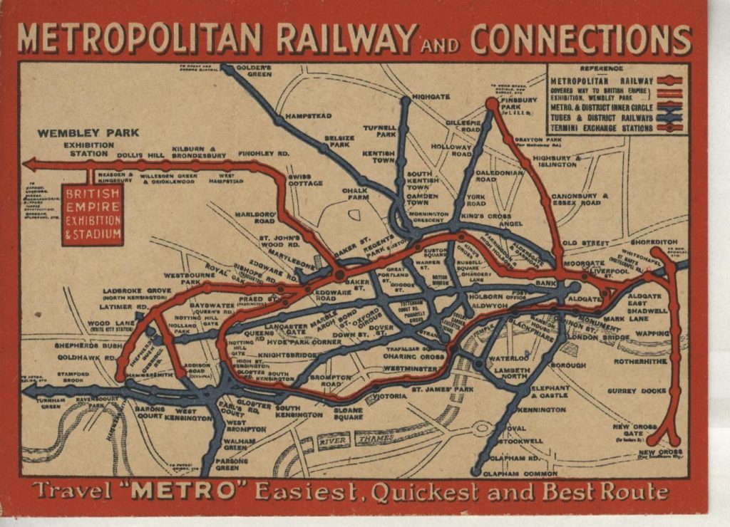
These remarkable old Tube maps reveal just how much the London Underground network has evolved over the past 100 years. The historic diagrams provide a fascinating insight into the development of the capital’s iconic underground system since it first began operations in 1863. Free-hand drawings and calligraphy were used to create the first maps for the expanding Tube network, with the earliest one featured in this article dating back to 1925.